A map of the Chesapeake Bay watershed
For years, through my NSF-funded work on the Chesapeake, I wanted a wall map of the watershed. While some exist, nothing fully encompassed the human, environmental, and modeling dimensions in a single product. The “prettier” or more artistic maps mostly stopped at the Bay's edge or left out the headwaters, and the technical ones weren't something I’d want to hang on the wall of my lab. And I didn’t want to lug one of the fancy (and expensive!) laser-cut wood ones back from Annapolis.
So I decided to make one, and it's finished (enough) to finally share.
The map shows shaded relief under an elevation tint, the full river network, the Bay and its tributaries, state lines, towns and cities, the Conowingo Dam, national parks, forests and wildlife refuges, and the named mountains and lowlands that shape where water flows. It also shows something no other map does (as far as I know): the Phase 7 land-river segments, which are the spatial units used by the Chesapeake Bay Program's watershed model to account for every BMP and bit of nutrient pollution in the basin, drawn as fine hairlines across the whole watershed. If you've ever worked with CAST’s outputs, this is what those units look like when mapped across the CBW.
One note - everything on the map was produced by R code. There is no hand-drawn step: the data are pulled from public sources (e.g., USGS, the Census Bureau, Natural Earth, the Bay Program, the Army Corps of Engineers, the National Park Service), and an R pipeline places every label, checks that nothing overlaps, and writes the files to disk. Automatically labeling is HARD to get right, and it’s certainly not perfect here. If a label couldn’t be placed cleanly, it was dropped (and if there is a collision, the R build actually fails).
Making it was a fun exercise, and affirms how programmatic cartography is advancing quite rapidly.
Get the files (both are hosted as public Dropbox links, as they’re too large for my SquareSpace tier 😀)
Poster PNG, 24 × 36 inches at 300 dpi. [link]
Vector PDF at 36 × 54 inches for large-format plotters or editing in Illustrator. [link]
The map is released under a Creative Commons Attribution 4.0 licence: use it, print it, hang it, remix it, just credit "Patrick Bitterman" and link back to this website. The R code that builds the map isn't posted in a public repo just yet - it may be eventually, but I'm glad to share it if you’d like. Just send me an email if you want to see how it works.
If you spot a misplaced name or a river I've missed, let me know. Maps are never finished, only released as new version :).
Congratulations to Dr. Uzma Jabeen!
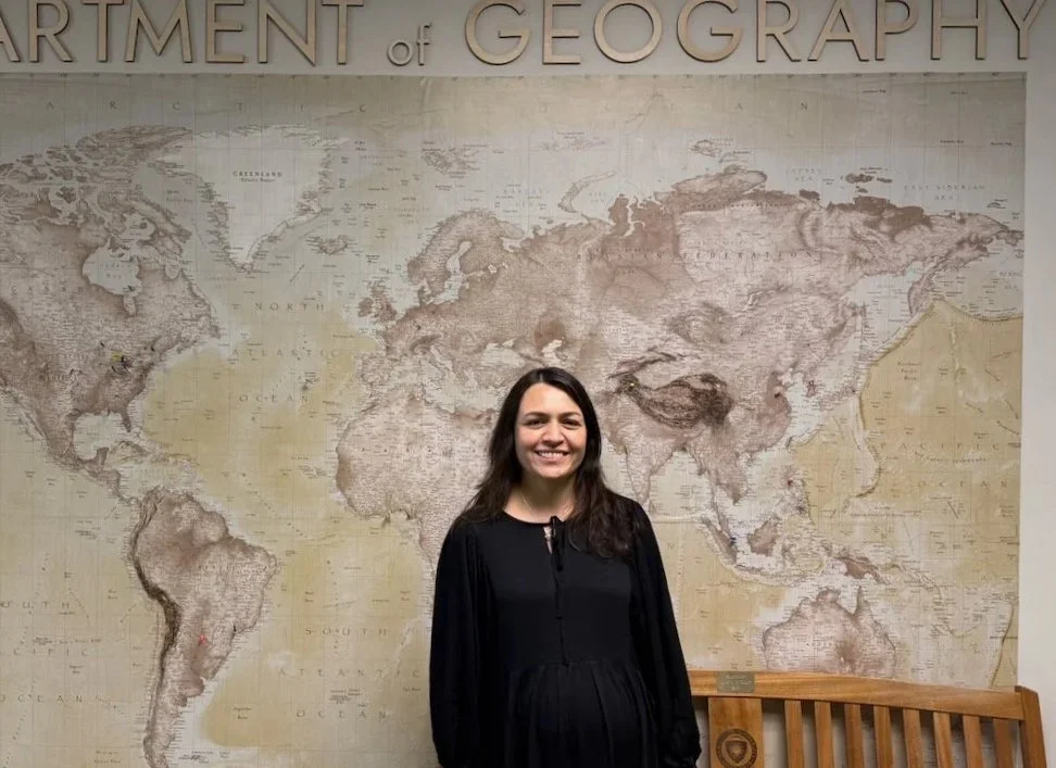
The Department of Geography congratulates Dr. Uzma Jabeen on the successful defense of her doctoral dissertation, Assessing Regional Profiles of Social Vulnerability to Coastal Flooding in the Chesapeake Bay Region: Sensitivity of Vulnerability Profiles to Spatial and Temporal Variation and Flood Exposure Metrics.
Uzma’s research advances understanding of social vulnerability to coastal flooding by moving beyond traditional composite vulnerability indices to identify distinct regional profiles of vulnerability across the Chesapeake Bay. Her dissertation examines how methodological choices (e.g., spatial and temporal context, locally relevant indicators, alternative representations of flood exposure) influence the characterization of social vulnerability. The work contributes to more context-sensitive approaches for assessing compound hazard vulnerability and provides insights to support equitable climate adaptation and hazard mitigation planning.
Congratulations to Dr. Jabeen on this significant accomplishment, and we wish her continued success in her research and professional career.
Late-breaking funded graduate opportunity (Fall 2026)
I am recruiting a funded graduate student to join my research group in the Department of Geography at Kent State University beginning in Fall 2026. This position has become available following the recent funding of a new Ohio Harmful Algal Bloom Research Initiative (HABRI) project focused on the social-ecological dimensions of wetland restoration in the Western Lake Erie Basin and Great Black Swamp region.
The project will examine how governance, stakeholder perspectives, landscape identity, and institutional coordination shape wetland restoration outcomes, while working closely with the H2Ohio Wetland Monitoring Program. The student will engage in interdisciplinary research spanning environmental governance, GIS and spatial analysis, mixed methods, stakeholder engagement, and social-ecological systems research.
More information about the project, funding, and application process is available here:

Congratulations to Dr. Kwang-il “Jason” Yoo!
Congratulations to Dr. Kwang-il “Jason” Yoo, who successfully defended his dissertation in Geography at Kent State University.
Jason’s dissertation applies GeoAI, spatial analysis, and machine-learning approaches to examine how geographic context, institutional structures, and environmental governance shape water-quality outcomes in the Chesapeake Bay Watershed. His work advances important questions at the intersection of GIScience, social-ecological systems, land-use governance, and watershed restoration.
Jason has been an outstanding member of the HESI Lab, bringing technical skill, intellectual curiosity, and a deep commitment to rigorous, policy-relevant research. His dissertation represents a major accomplishment and a meaningful contribution to research on complex human-environment systems.
Congrats, Jason!
Moving to Kent State University
As of August 2024, I have joined the Department of Geography at Kent State University as an Assistant Professor.
At Kent State, I direct the Human-Environment Systems, Interactions, Impacts, and Intelligence (HESI) Lab, where my students and I study complex interactions among environmental change, governance systems, land-use decisions, and spatial inequalities. Our work uses, simulation, GeoAI, and stakeholder-engaged methods to examine water quality, watershed restoration, flood vulnerability, and the dynamics of social-ecological systems.
This move marks an exciting new chapter for my research, teaching, and student mentorship. At Kent State, I look forward to continuing to build a policy-relevant human-environment systems research program, with active and emerging work in the Chesapeake Bay Watershed, Western Lake Erie Basin, and other social-ecological systems.